Naissaar hiking trails
The two RMK hiking trails on Naissaar: the 11 km central trail and the 7 km north trail, campfire sites, the camping area, drinking water and practical tips for your hike.
Naissaar is a great choice for anyone who wants to spend a day in nature, walk through coastal pine forests, see the island's varied landscapes and learn about its fascinating history. The island has two RMK-marked hiking trails: the 11 km central trail and the 7 km north trail. Both lead to places where Naissaar's nature and history are closely intertwined.
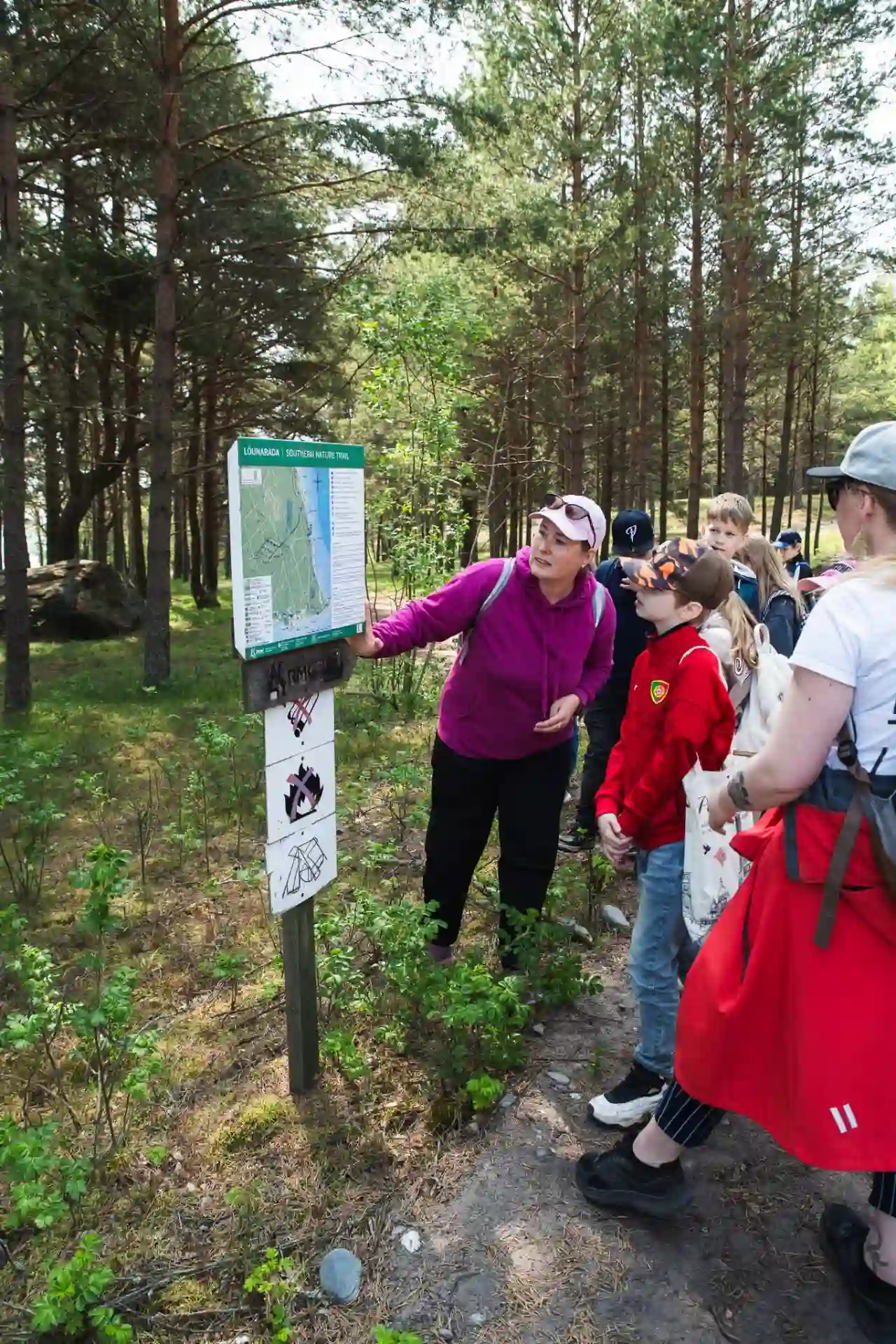
You can hike on your own, following the RMK markings and map, or join a guided hike to learn more about the island's nature, people and history.
Naissaar central trail – 11 km
The central trail starts at the RMK camping area near Naissaare harbour. The trail runs through the middle of the island, passing the Danish King's Garden (Lehtmetsa) and Põhjaküla. From there it follows a forest track to Kunila hill and then heads back south, through the former mine depot area, to the camping area.
The trail is marked on trees with white-green-white markings, and signposts help you find the way at junctions.
What does the central trail offer?
- The Danish King's Garden (Lehtmetsa) – a forest area with a historic name that stands out from the island's other forests thanks to its richer undergrowth. The area is also linked to Naissaar's earlier history of hay meadows and village gatherings.
- Kunila hill – the highest hill on Naissaar.
- The mine depots – a former military area that gives a sense of Naissaar's military history.
The central trail suits those who want to get to know both the natural and historical side of the island and have enough time for the hike.
See the trail description: Naissaar central trail – RMK · Location on map
Naissaar north trail – 7 km
The north trail is also known as the military trail. It starts in Haldja village, follows the coast north to the northern tip of Naissaar and turns back south along the west coast.
The trail is marked on trees with white-red-white markings. Several important sites of Naissaar's military heritage lie along the way.
What can you see on the north trail?
- Haldja village and the former officers' casino – the historic area where the trail starts.
- Batteries 10A and 10B – large military structures that are part of the island's war history.
- The northern tip of Naissaar (Virbi ots) – the northernmost part of the island.
- Naissaar lighthouse – an important navigation mark near the northern tip.
The north trail appeals to anyone interested in coastal landscapes as well as military heritage. Move carefully around the old military structures. Do not climb on crumbling structures or enter buildings that are at risk of collapse.
See the trail description: Naissaar north trail – RMK · Location on map
Campfire sites and camping on Naissaar
Naissaar has several recreation and campfire sites maintained by RMK. It is important to know that camping and making a fire are not allowed everywhere on the island, only in the designated places.
Naissaar camping area
The camping area is located near the harbour among pine trees and is the starting point of the central trail. It has:
- 5 covered fireplaces;
- a table and benches by each fireplace;
- 4 dry toilets;
- information boards and rubbish bins.
Camping is allowed within the camping area, close to the fireplaces. There is also a sandy beach nearby.
Naissaar camping area – RMK · Location on map
Hülkari campfire site
Hülkari campfire site is located at the south-eastern tip of the island, near the border guard radar. The site lies between wide sand dunes and offers a view of Tallinn Bay and the Tallinn skyline.
At the site you will find:
- a shelter with tables and benches;
- a covered fireplace;
- a dry toilet;
- a rubbish bin and an information board.
According to RMK, camping is allowed there.
Hülkari campfire site – RMK · Location on map
Saunakari campfire site
Saunakari is located near the northern tip of the island and is a small, secluded stopping place. It is the only official campfire site in the northern part of Naissaar.
It has:
- a shelter with a table and benches;
- a covered fireplace;
- a toilet;
- a rubbish bin.
Saunakari is close to the north trail. The RMK description does not separately mention camping at this site.
Saunakari campfire site – RMK · Location on map
Water and route information before your hike
Before setting off on a longer hike, it is worth taking drinking water with you. You can get water to take along at Naissaare harbour.
If you need advice on choosing a route, want to know where interesting places are or would like tips for getting around the island, drop by Harbour Café Nargen. You can ask us for route information and advice for your visit to Naissaar.
The harbour café is a good place to start getting to know the island, make the last preparations before your hike, or rest and refuel afterwards.
Wi-Fi is also available for visitors in the harbour area.
Toilets and other practical facilities
According to RMK, there are dry toilets at the Naissaar camping area, Hülkari campfire site and Saunakari campfire site.
Before heading out on a longer trail, check RMK's official maps and descriptions of the recreation areas. Bring enough drinking water, suitable footwear and clothing for the weather.
Naissaar is a nature park – take care of the island and others
Naissaar is under nature protection. The nature park covers the whole island, with valuable forest and coastal habitats, sand dunes and diverse plant and animal life.
When moving around the island:
- stay on marked trails and roads;
- make a fire only at designated campfire sites;
- camp only in permitted places;
- do not leave rubbish in nature;
- do not damage plants, lichens or the dune surface;
- keep your dog close and be mindful of wild animals;
- respect the peace and privacy of local residents.
The old military structures of Naissaar are part of the island's history, but their condition can be dangerous. Do not climb on crumbling structures or enter buildings that are at risk of collapse.
Before your hike, also read the Environmental Board's information about Naissaar Nature Park and its visitor rules.
Environmental Board guidance on visiting protected areas (in Estonian)
Come hiking on Naissaar!
The Naissaar hiking trails offer a chance to spend a day in a different setting – among forests, beaches and historic places. If you would like to get to know the island's nature and history more deeply, join a guided nature hike or military heritage tour.
Updated:
Ready for a Naissaar experience?
Book your guided tour, hike or excursion and discover the best spots on Naissaar!
Book a tour